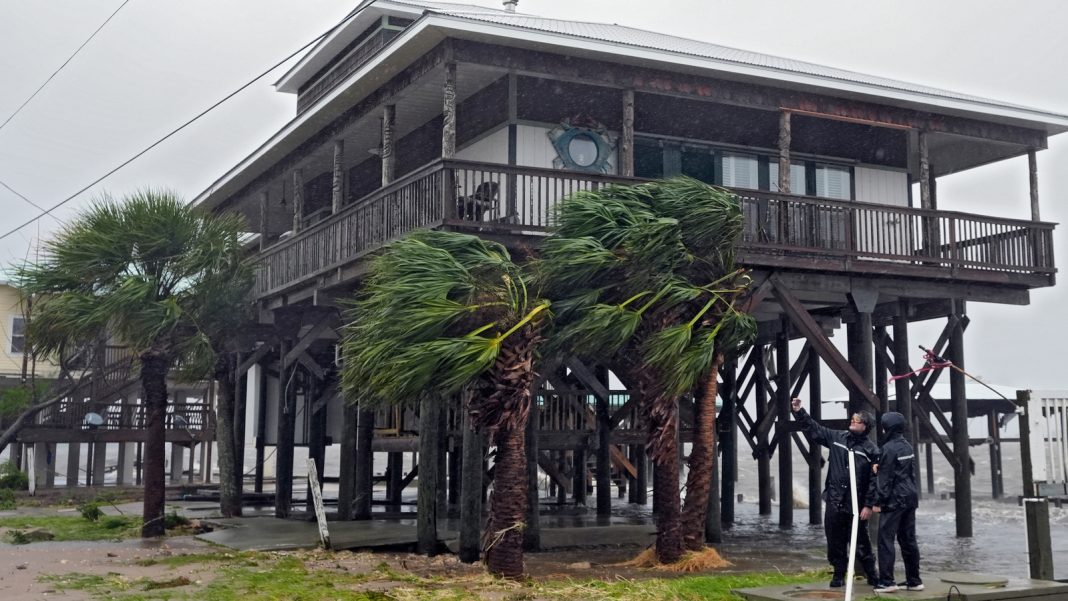
The Atlantic Basin is approaching the time of year that typically sees the most tropical systems forming. However, the past three weeks have been unusually quiet, with no named storm formations since Ernesto on August 12th. In fact, the last time there were no named storm formations between August 13th and September 3rd was back in 1968. This lull in activity is a stark contrast to the historically busy period between August 20th and October 10th, when about two-thirds of all storm activity occurs.
One of the main reasons for the lack of storm systems in recent weeks is the presence of Saharan Dust moving across the Atlantic Ocean. According to scientists, large Saharan dust outbreaks have brought intense plumes of dust and dry air across the tropical Atlantic during July and August. These dust plumes, although not occurring more frequently than usual, have been more intense and widespread in nature. The dust and dry air limit the chances of tropical development by inhibiting the formation of storms.
In addition to the Saharan Dust, unfavorable conditions in the upper atmosphere and a northward displaced storm track across West Africa are also playing a role in suppressing storm development. The abnormal rainfall brought by the northward displaced storm track has led to disturbances entering the Atlantic over cooler waters and with greater exposure to dry air. These conditions make it difficult for storms to form.
Looking ahead, Colorado State University’s tropical weather experts predict below-average activity over the next two weeks. However, they believe that the seasonal forecast remains on track to be above average by the end of the season. Towards the middle of the month, environmental conditions are expected to become more favorable for tropical cyclone activity in the Atlantic Basin.
Currently, there are multiple tropical disturbances being monitored for potential development, but the chances of them becoming named storms in the next seven days are low. One disturbance moving westward across the Caribbean Sea has a 30% chance of development in the next week. Another disturbance off the coast of Africa has a 20% chance of development, while a third disturbance in the central Atlantic Ocean has just a 10% chance. However, at this point, there are no major concerns or threats to the U.S.
Looking further into mid-September, NOAA’s Climate Prediction Center’s long-range Global Tropical Hazards Outlook suggests a slight to moderate chance of new tropical development over the Central Atlantic Ocean. While this doesn’t indicate a strong signal for increased activity, it does hint at potential changes in a few weeks that could support more tropical storm formation.
It’s important to note that the 2024 hurricane season is predicted to be active, with NOAA forecasting 17 to 24 named storms, eight to 13 hurricanes, and four to seven major hurricanes. So far, there have been five named storms and three hurricanes this season. The top two busiest hurricane seasons on record are 2020 and 2005, both of which saw a significant number of named storms occurring after September 3rd.
Various factors contribute to tropical cyclone activity and seasonal outlooks. This year, the transition from El Niño to a developing La Niña event in the equatorial eastern Pacific, warm ocean temperatures across the Atlantic Basin, and above-average African monsoon activity are all factors that influenced the forecast for an active hurricane season.
As we enter the peak of the Atlantic hurricane season, it’s essential to stay informed and prepared for potential storms. While the recent lull in activity may provide temporary relief, it’s important to remember that the weather can change rapidly, and it only takes one storm to cause significant damage.

