Cold Front to Bring Chilly Temperatures to Southeast Texas
HOUSTON, Texas (KTRK) — It feels more like spring outside now, but a cold front arriving late Saturday will bring chilly temperatures back to Southeast Texas.
Rain Outlook for Saturday
This morning most of us are starting with temps around 70 degrees, which will warm toward 80 as the cold front approaches. The southwest wind ahead of that front will put a “cap” of warm air aloft, and we now believe it is unlikely thunderstorms form along the cold front. Instead, a thin band of showers is the most likely outcome.
When am I most likely to get rain on Saturday?
At this time rain looks most likely along and just behind the cold front, which isn’t expected to reach Houston until between 4 p.m. – 6 p.m. That said, we’ve lowered the rain chance to 40%, and even that might be generous. Ahead of the front there could be some stray showers in the humid air, but most of Saturday will be dry until the evening comes.
Severe Weather Outlook
Technically, yes, but it now looks like a strong cap will develop ahead of the front that could prevent any thunderstorms from occurring at all. The focus for severe weather will end up well northeast of Houston into Louisiana. We do not expect any storms to rotate, so tornadoes are not a concern. The front and showers will sweep through quickly, so flooding is not a concern either with this round of rain.
Cold Weather Forecast
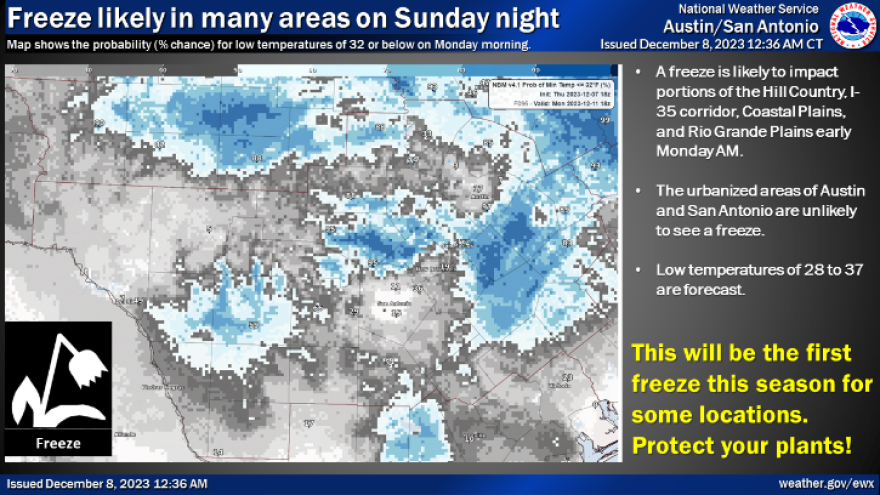
Sunday will be a chilly day with a stiff northwest wind gusting up to 35 mph in the morning. Temperatures will be in the mid 40s at that time, and highs will only rebound into the upper 50s despite all the sunshine! As the wind settles down Sunday night, temperatures are likely to dip into the middle and upper 30s across Houston. It’s looking like frost will form on rooftops and grassy surfaces across much of Southeast Texas by sunrise Monday. It’s also possible many outlying communities could enter light freeze territory.
Extended Forecast
After our near-freezing Monday morning, temperatures will quickly rebound into seasonal territory for the rest of next week. That means you can generally expect lows in the 40s and highs in the 60s.
Houston Radar Maps
Southeast Texas
Houston
Harris County
Galveston County
Montgomery/Walker/San Jacinto/Polk/Grimes Counties
Fort Bend/Wharton/Colorado Counties
Brazoria/Matagorda Counties

